 |
 |
 |
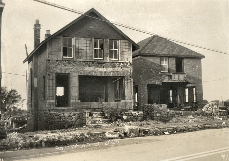
| 42. Big | 43. Big | 106. Big
|
 |
 |
 |
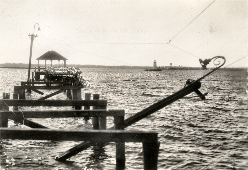
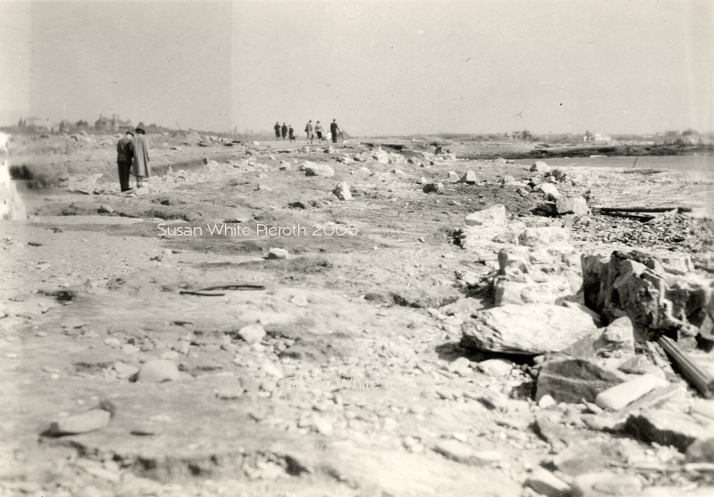
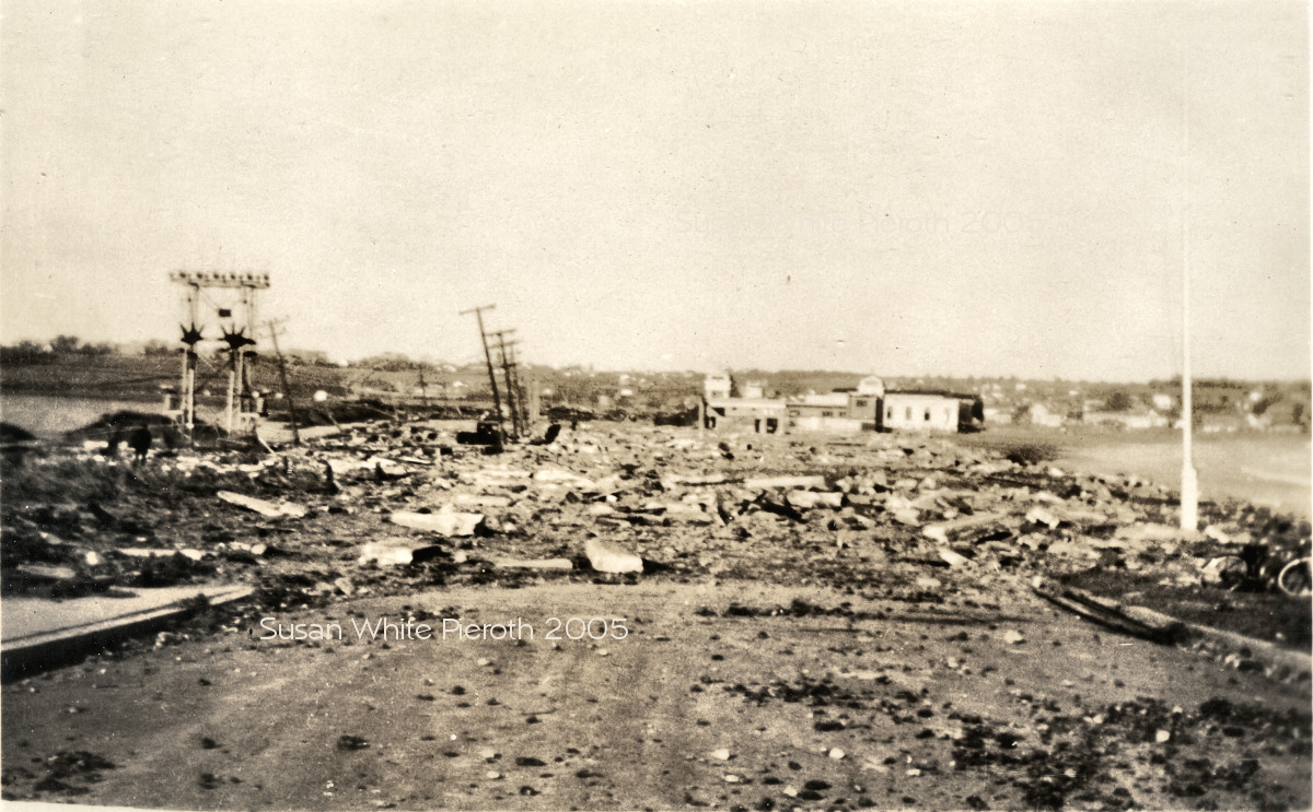
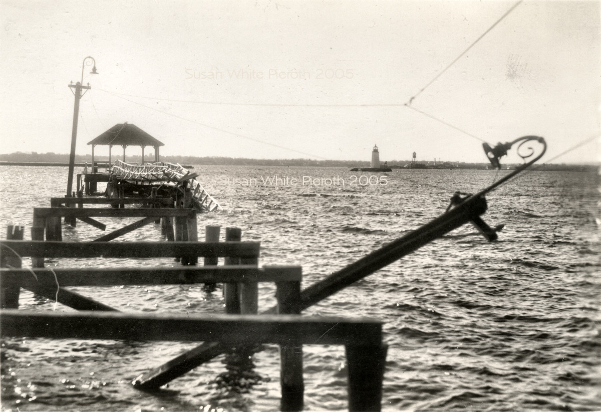
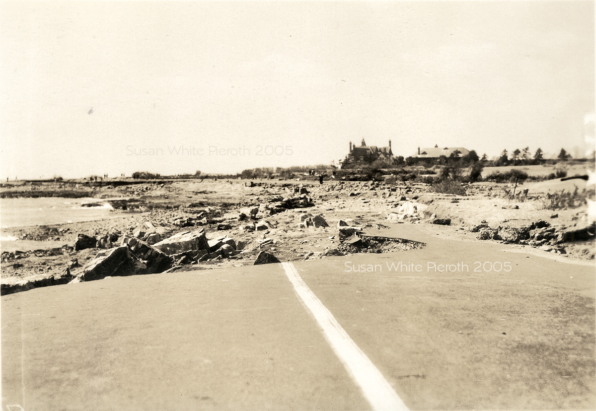
| 45. Charles Howie wrote, "The picture is certainly the Easton's beach view. The presence of the power lines, the resevoir on the left and the ocean on the right....the rubble on the road...and the view of the Esplanade and Middletown are very distinctive." Big | 46. The Goat Island Lighthouse in distance. Herb Armstrong of Newport confirmed the lighthouse identification and added, "(properly called the Newport Harbor light) with Rose Island in the distance. The wrecked pier is the Elm Street pier." Big | 47. Hammond Ferry at the dock in Jamestown. Big |
 |
 |
 |
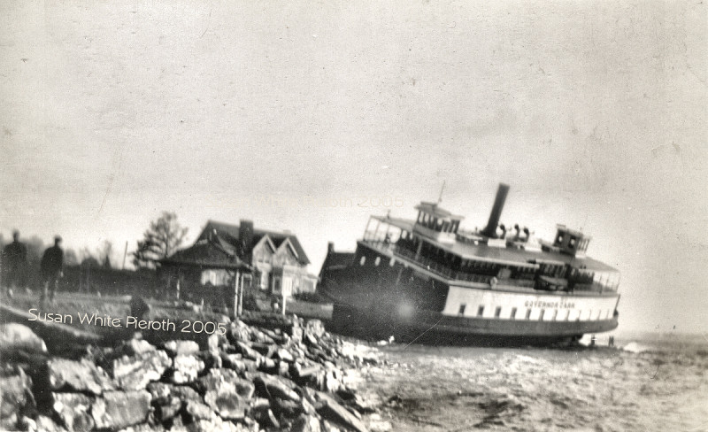
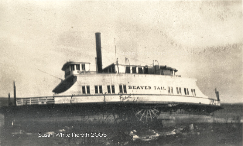
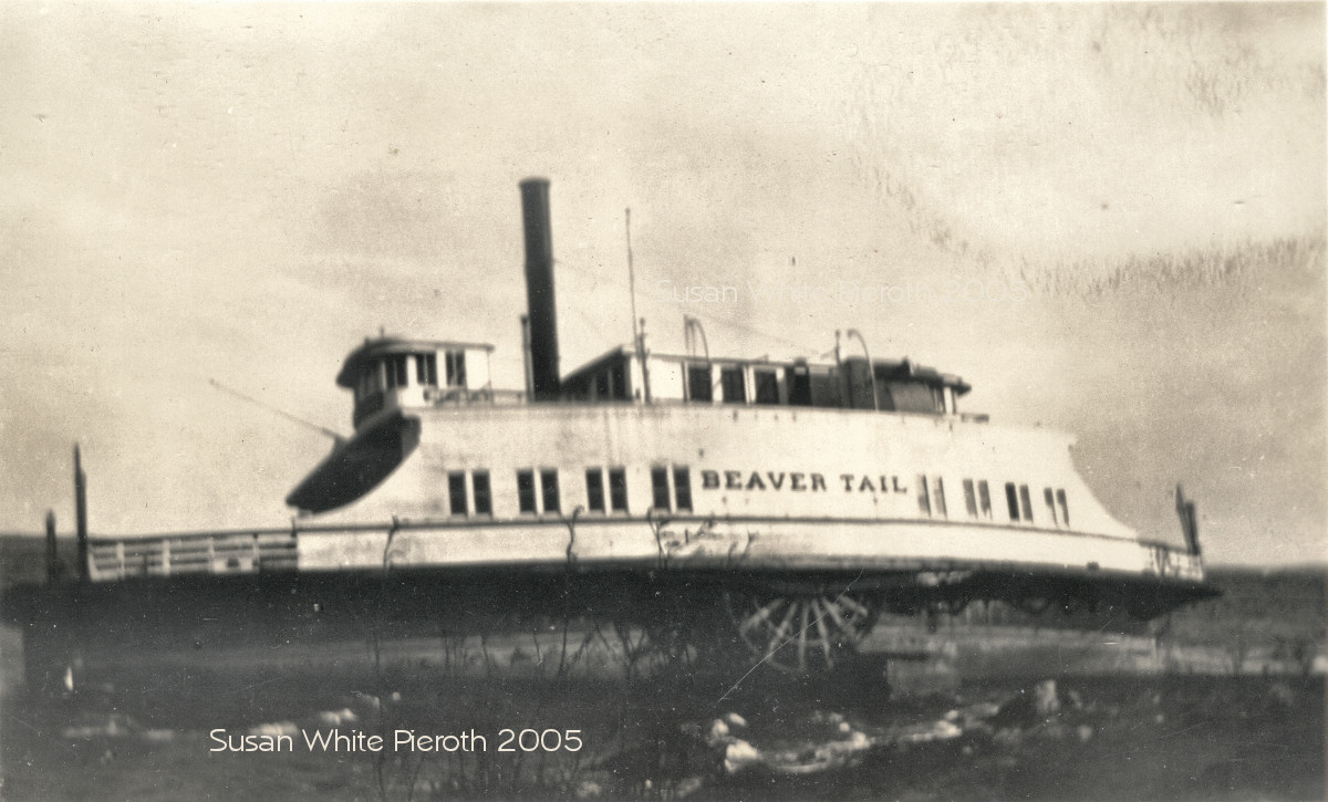
| 48. The Governor Carr Ferry, Jamestown Big | 49. The Beaver Tail Ferry, Jamestown Big | 50. Beavertail? Big |
 |
 |
 |
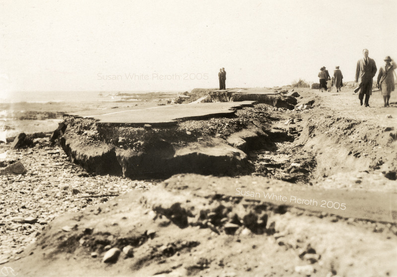
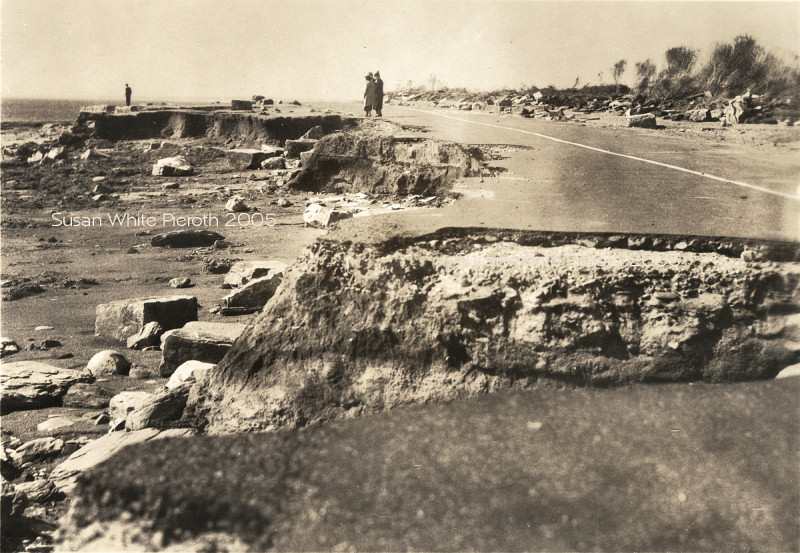
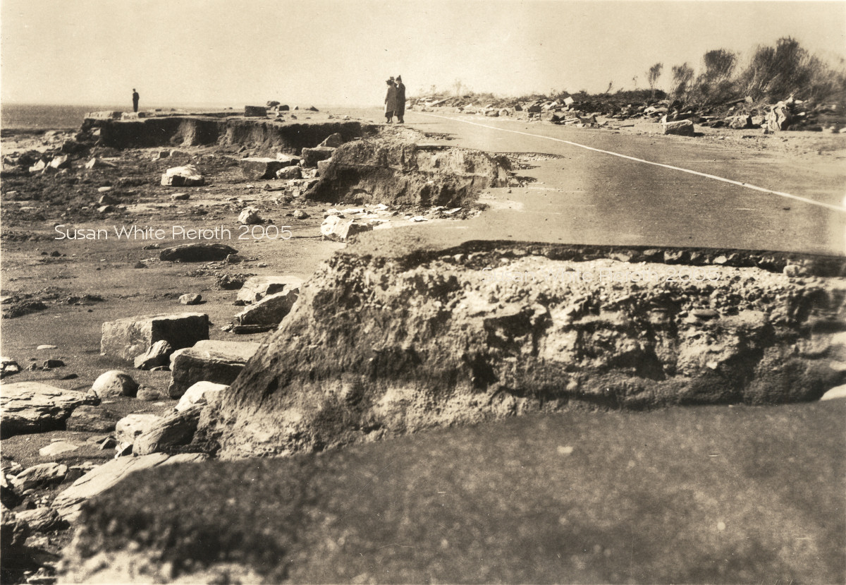
| 51. Big | 52. Ocean Drive looking a bit more to the Northeast than 56. Big | 53. Ocean Drive looking Northeast. Big |
 |
 |
 |
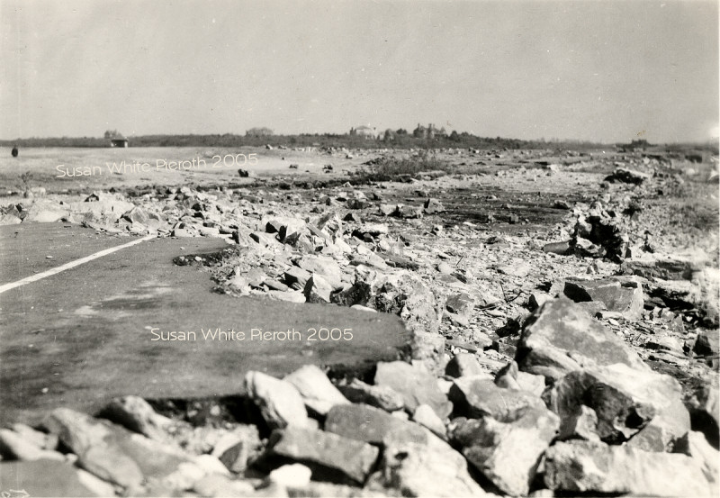
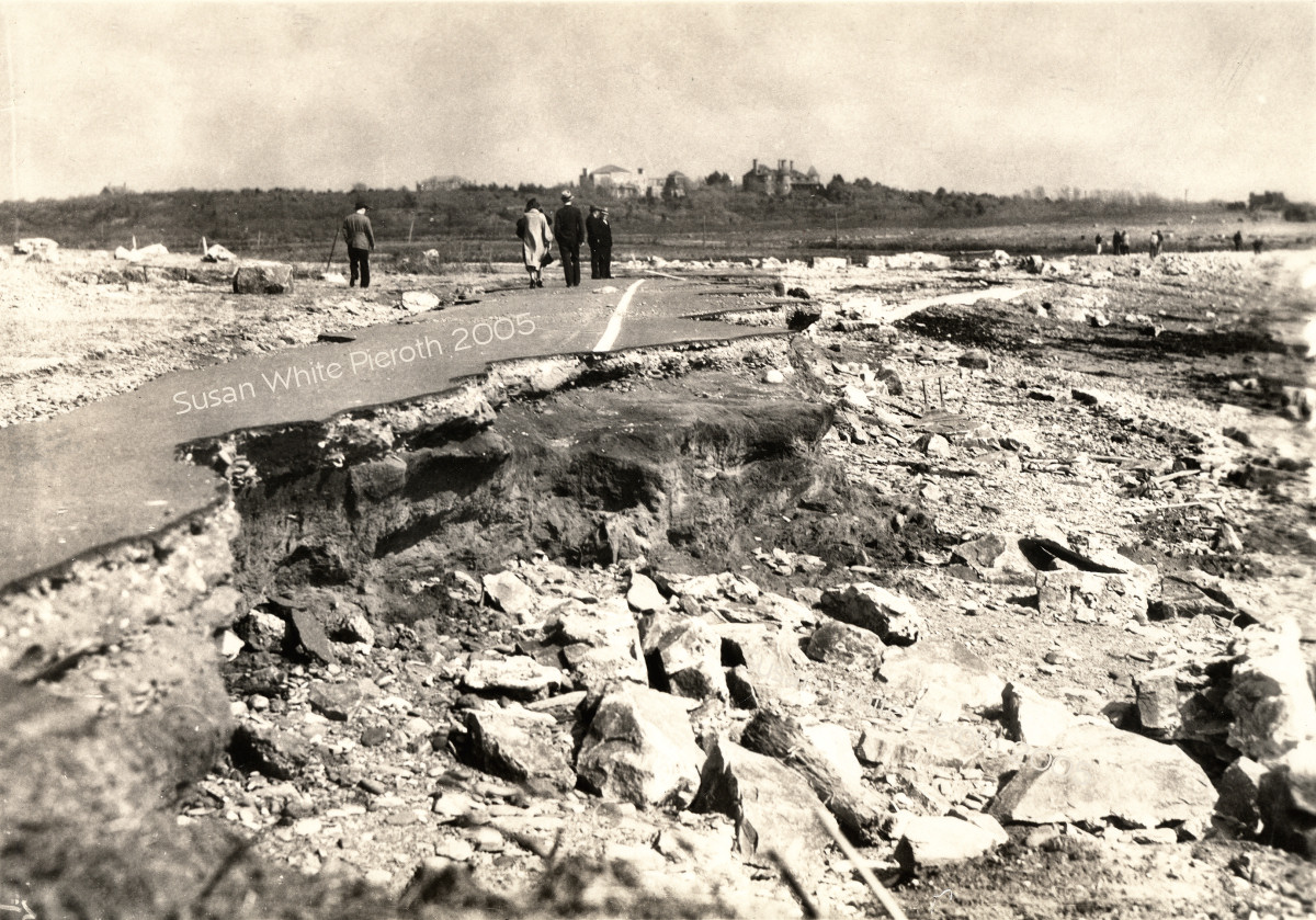
| 54. Charles Howie wrote, "looking west on Ocean Drive. The old Davis Estate is the larger of the 2 buildings...it burned in the early 1960's. The second building is either the stables or another building now used as a Visitors' Center on Breton Point Park." Big | 55. Big | 56. Ocean Drive looking East toward Price's Neck. Big |
Copyright © 2005-8 Susan Carter White Pieroth
http://www.rootsweb.com/~scwhite/