 |
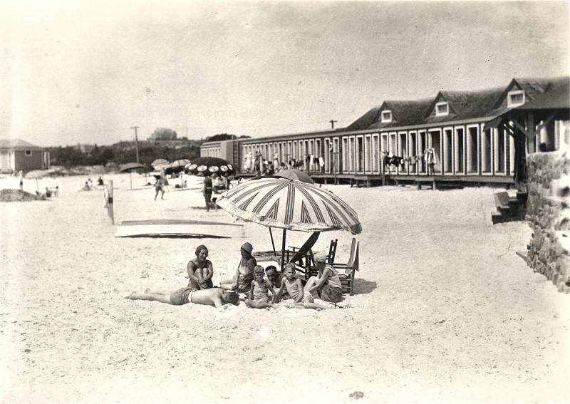 |
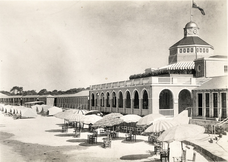
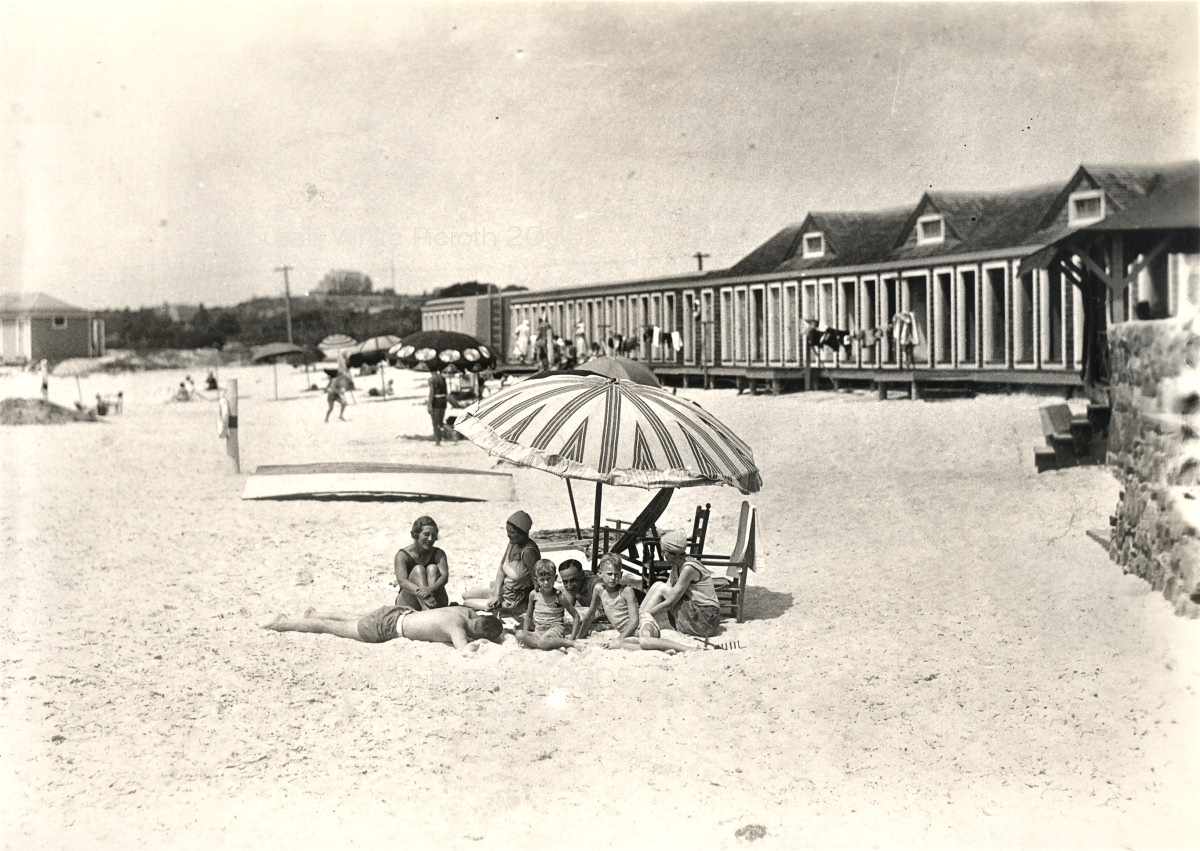
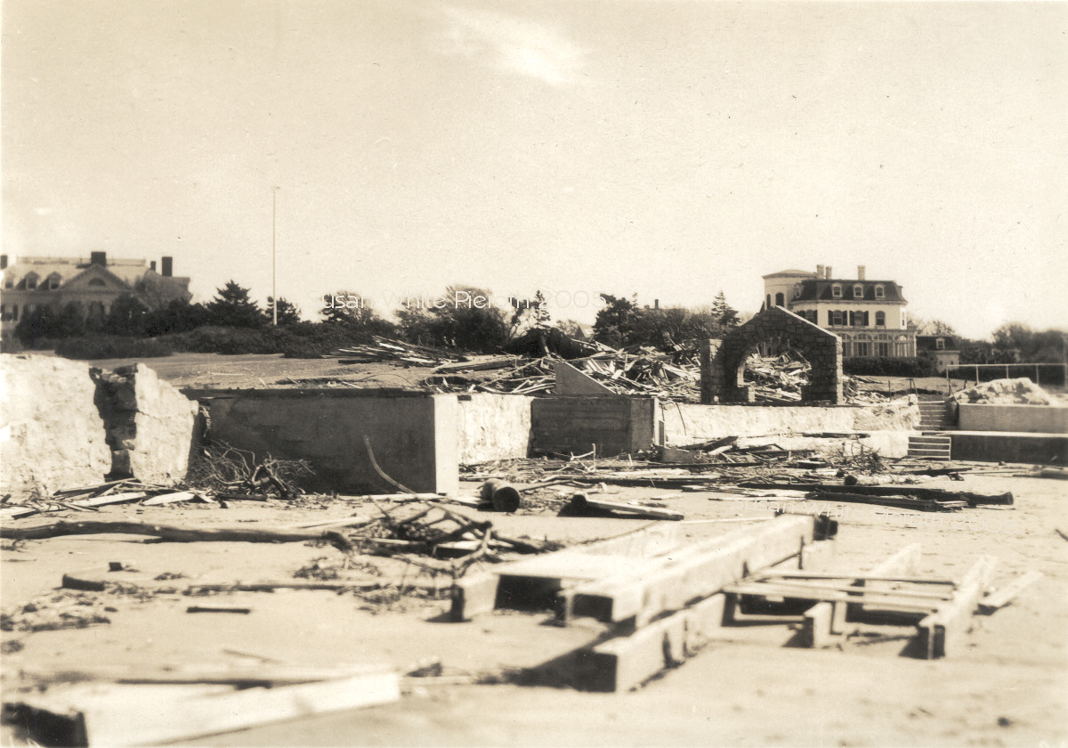
| Bailey's Beach Before. Big | Beach Before. Big |
 |
 |
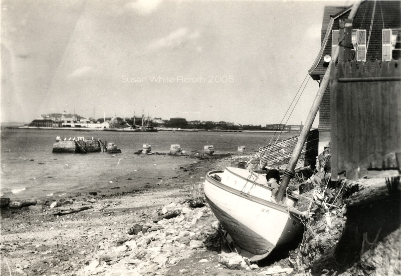
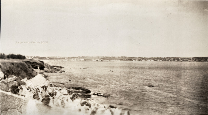
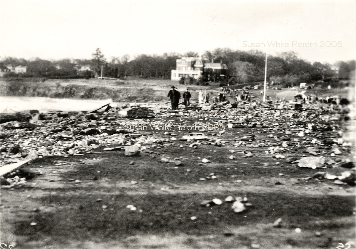
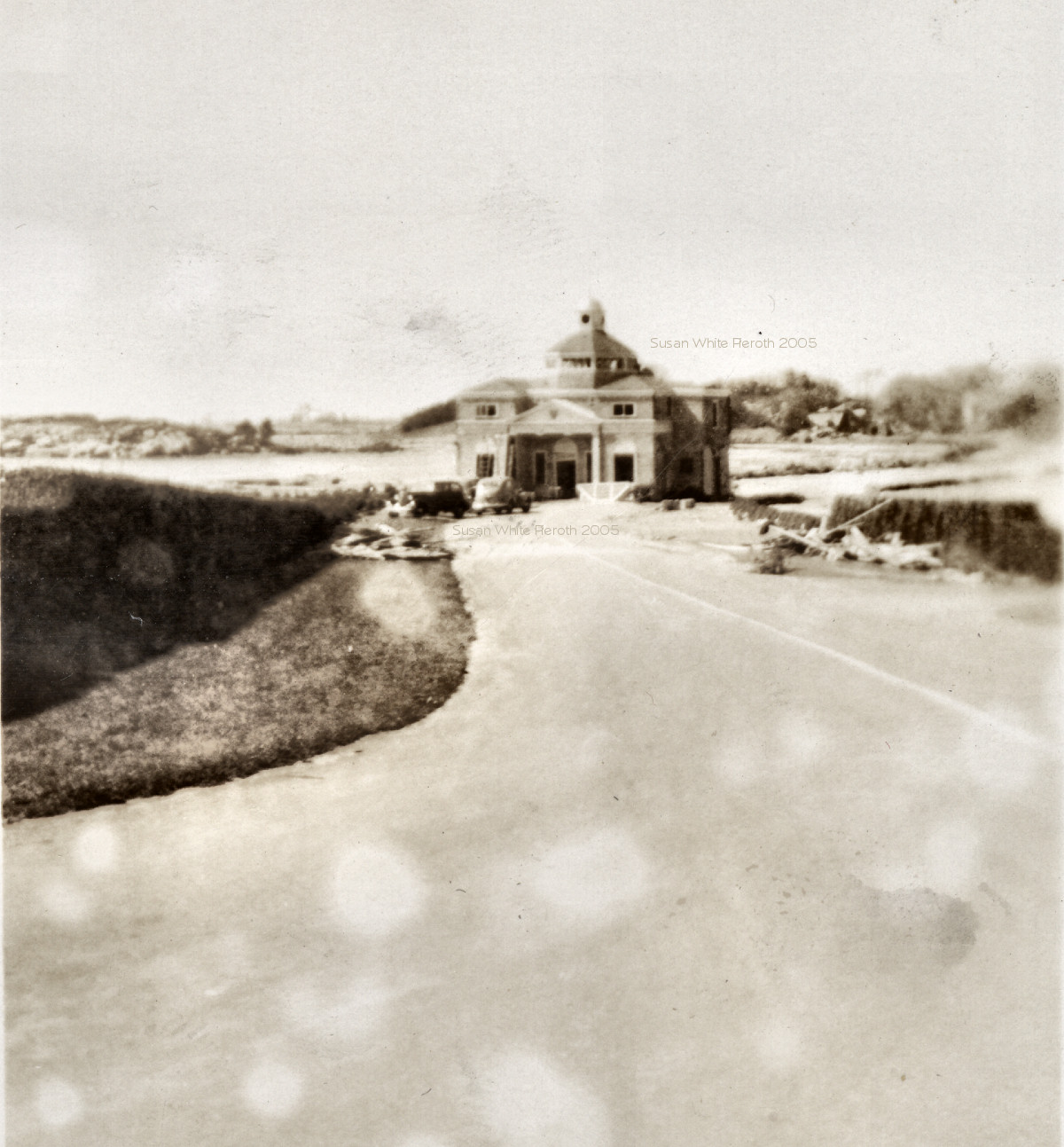
Left: 22. The War College is in the background Big
Right: 23. The beach road (now Memorial Blvd.) and beginning of Cliff Walk, Newport, in background Big |
 |
 |
 |
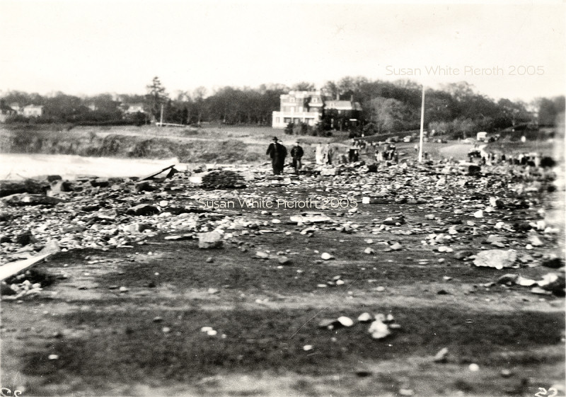
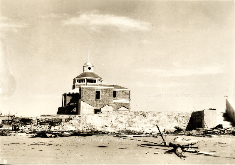
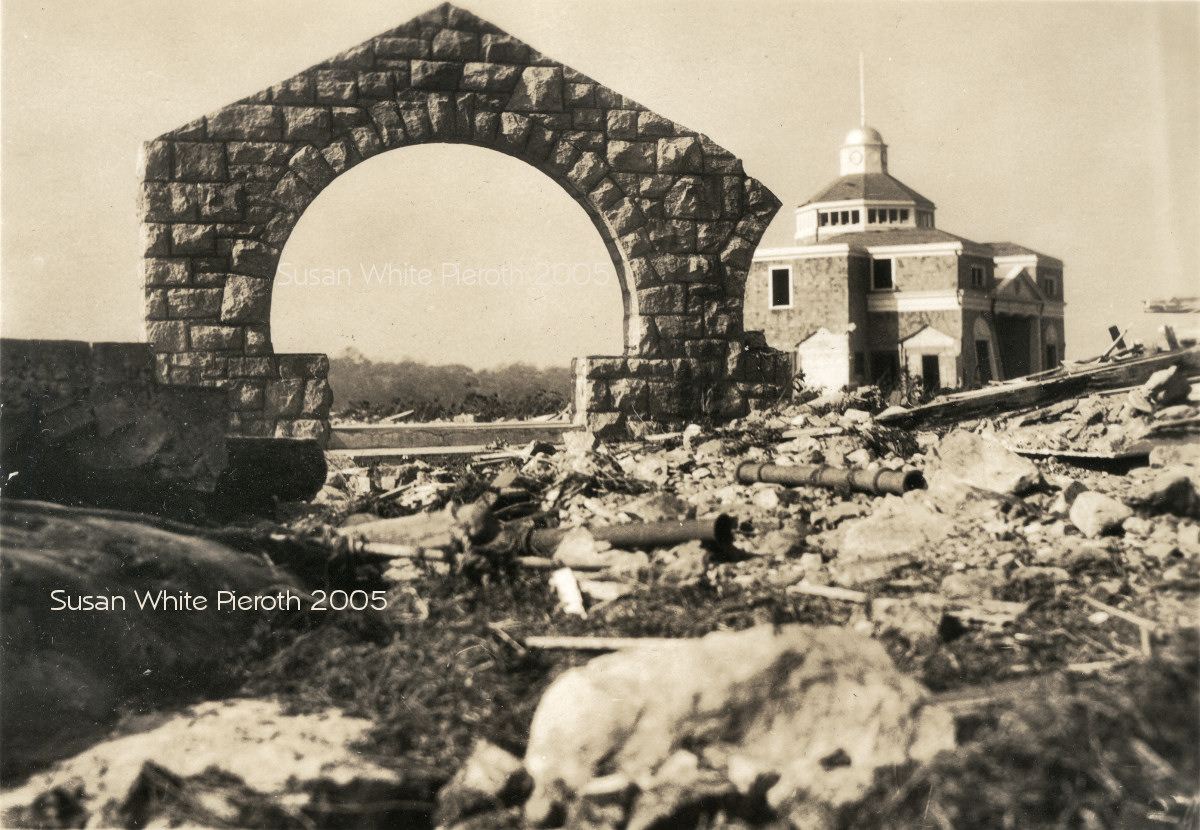
| 24. Bailey's Beach. This was pushed onto the middle of the road. Big | 25. Bailey's Beach Big | 26. Bailey's Beach the first house east of it known as "Seaweed". Big |
 |
 |
 |
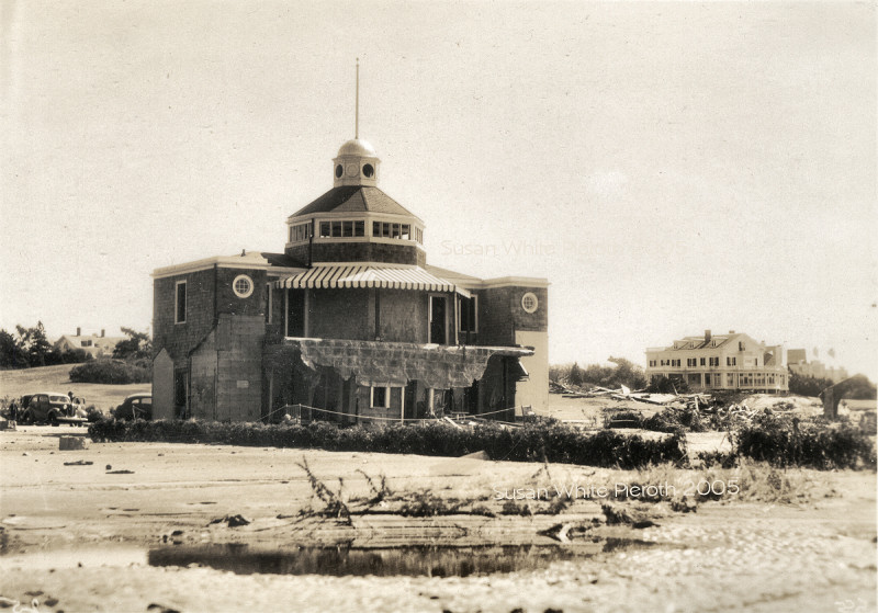
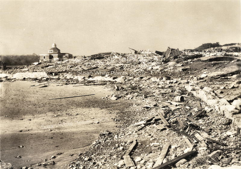
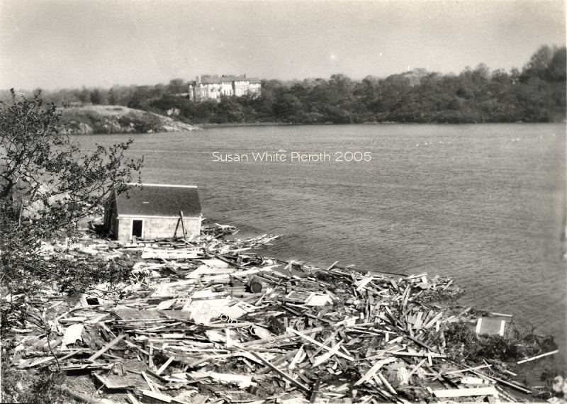
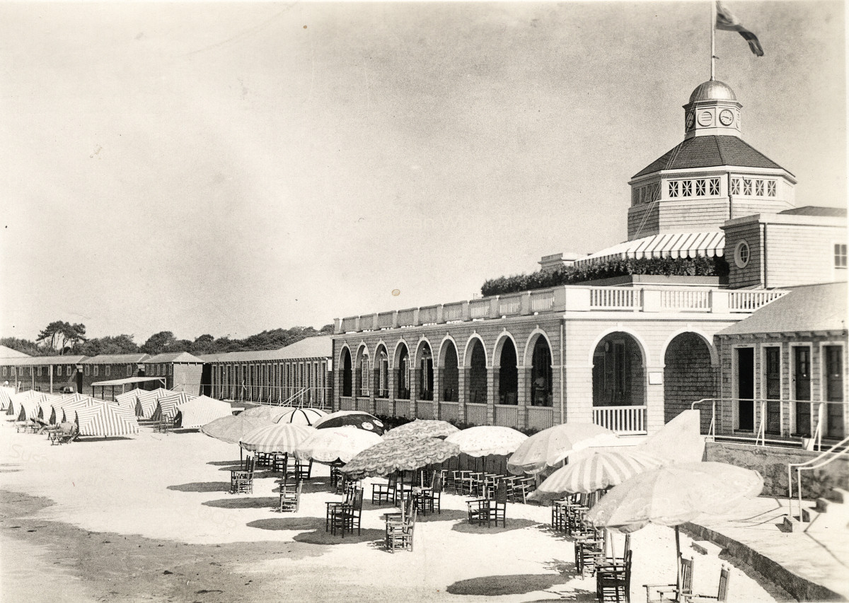
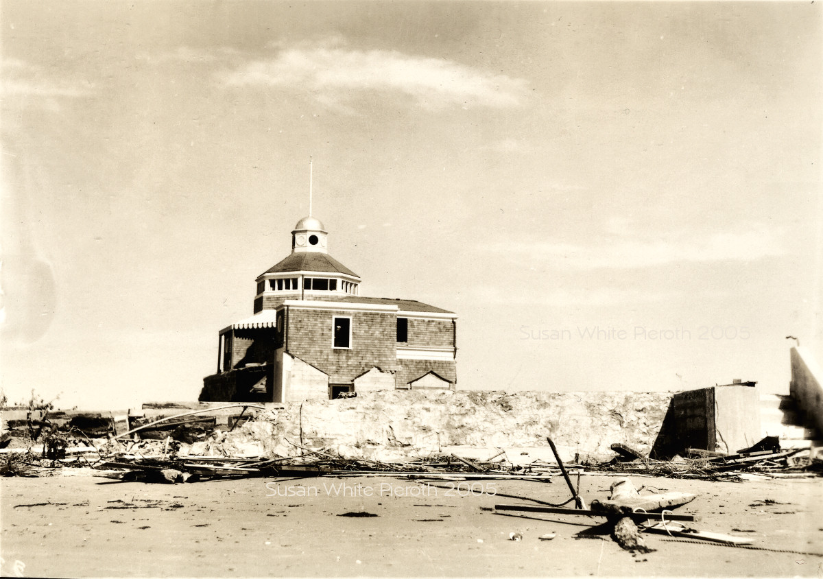
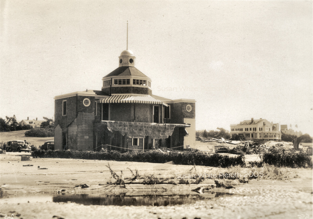
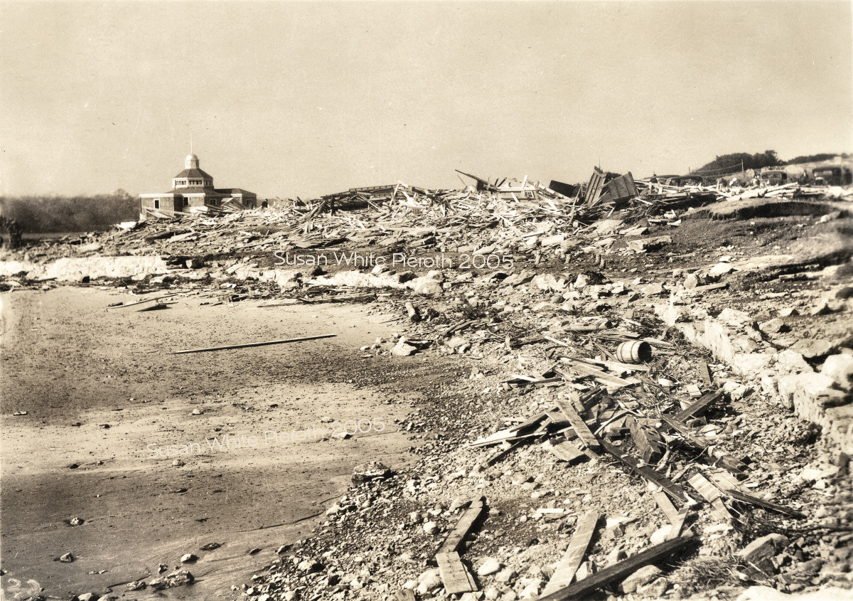
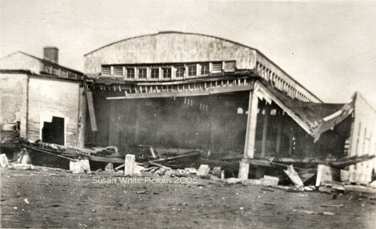
| 27. Bailey's Beach Big | 28. Bailey's Beach Big | 96. Bailey's Pavilion in road. Big |
 |
 |
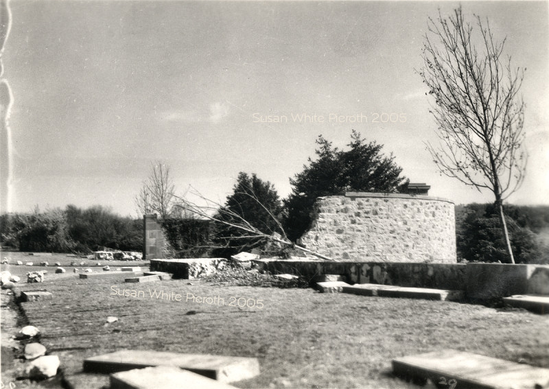
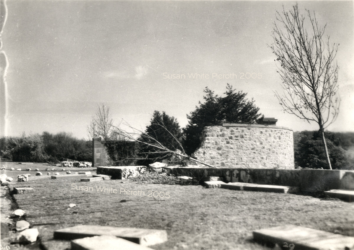
92. Big 29. Big |
 |
 |
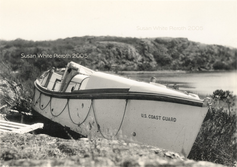 |
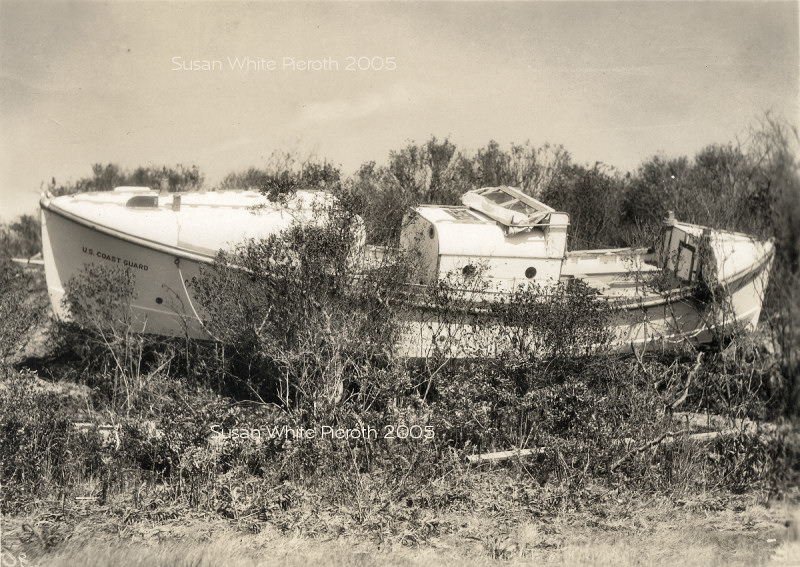
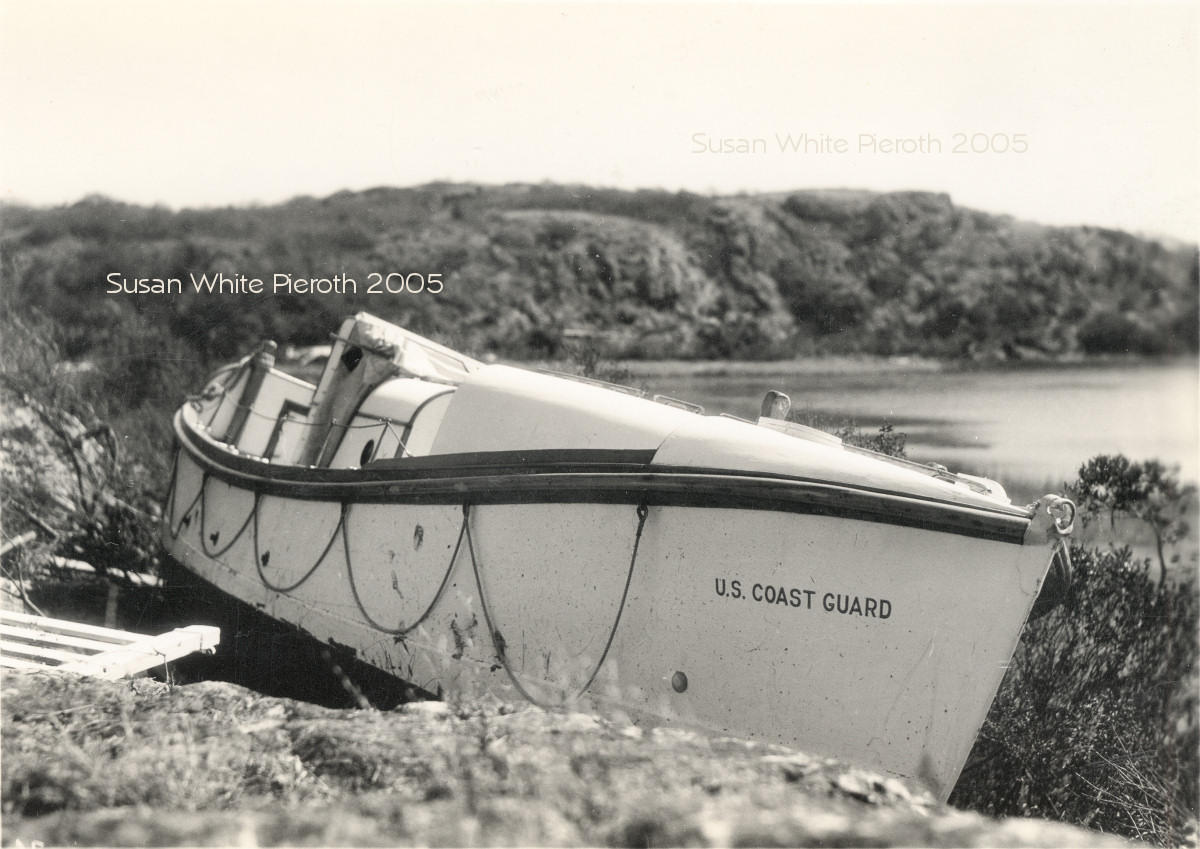
| 30. Big | 31. Coast Guard Boat Big
------ 32. Coast Guard Boat Big
Tim Dring of New Jersey wrote, "That boat was the 36ft. Type H motor lifeboat No. 2052, which was assigned to the Brenton Point Coast Guard station, originally located at Price's Neck. The lifeboat was moored next to the station boathouse in the cove prior to the storm, but the storm surge/tidal wave washed it away from its mooring and ashore at the head of the cove. Although the boat was later removed and refloated, it was too damaged to keep in operation, so the Coast Guard replaced it with a (then) newer 36ft.8in. Type TR motor lifeboat No. 5192 in 1940. The station's other large boat, a 38ft. picket boat No. 4310, successfully rode out the hurricane and storm surge in Newport Harbor near what was then called Government Wharf (across from Goat Is.), but the station's smaller boats were wrecked. The storm wrecked the Price's Neck station facility buildings as well, including the total destruction of the station boathouse and boat launchway. This led in 1940-41 to the construction of the Coast Guard station that you see today at Castle Hill." Thanks Tim! |
|
Copyright © 2005 Susan Carter White Pieroth