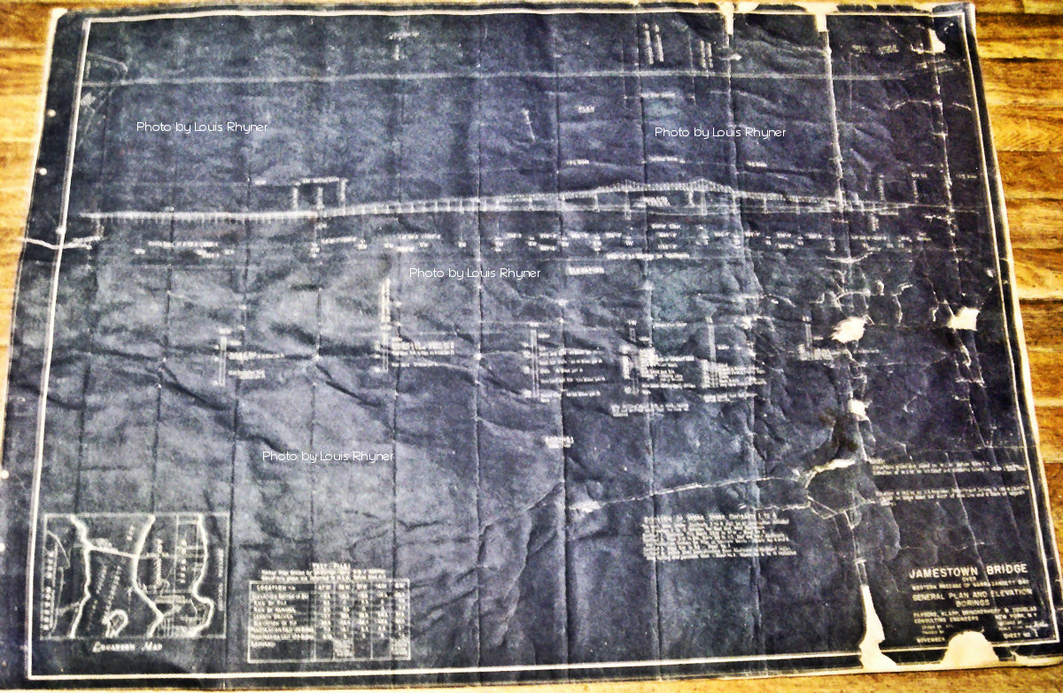
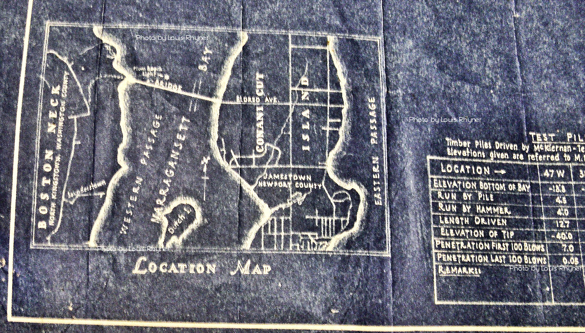
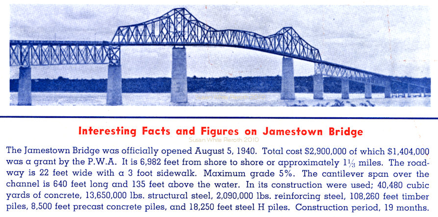
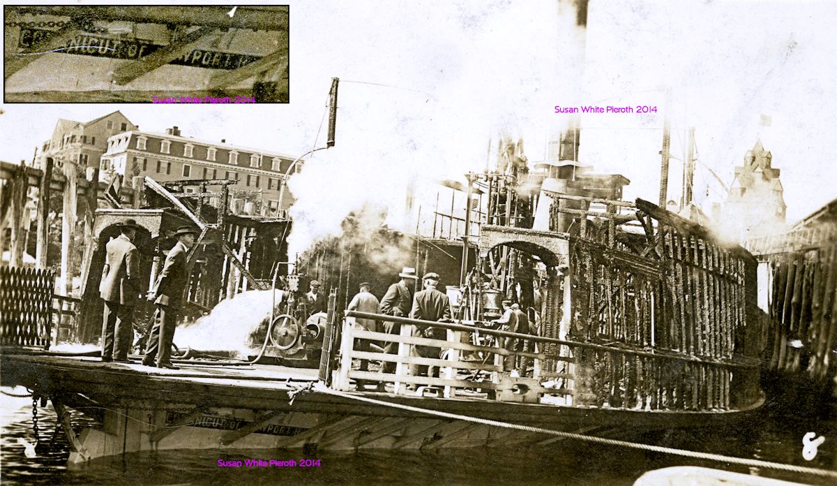
 |
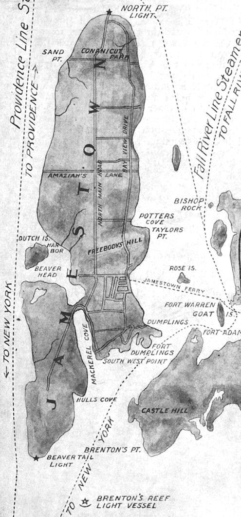
A map of Jamestown from
a 1905 brochure by the New York, New Haven and Hartford Railroad. West
Ferry was located where the letter 'E' of Jamestown is printed. Dutch
Island
is not that close. Amaziah's Lane, now called Eldred Avenue of Route
138,
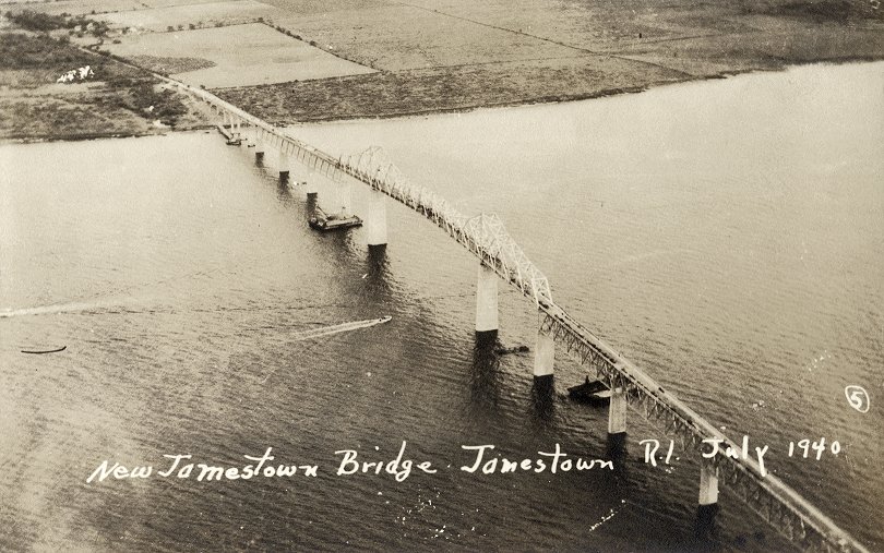
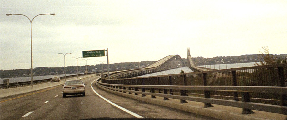
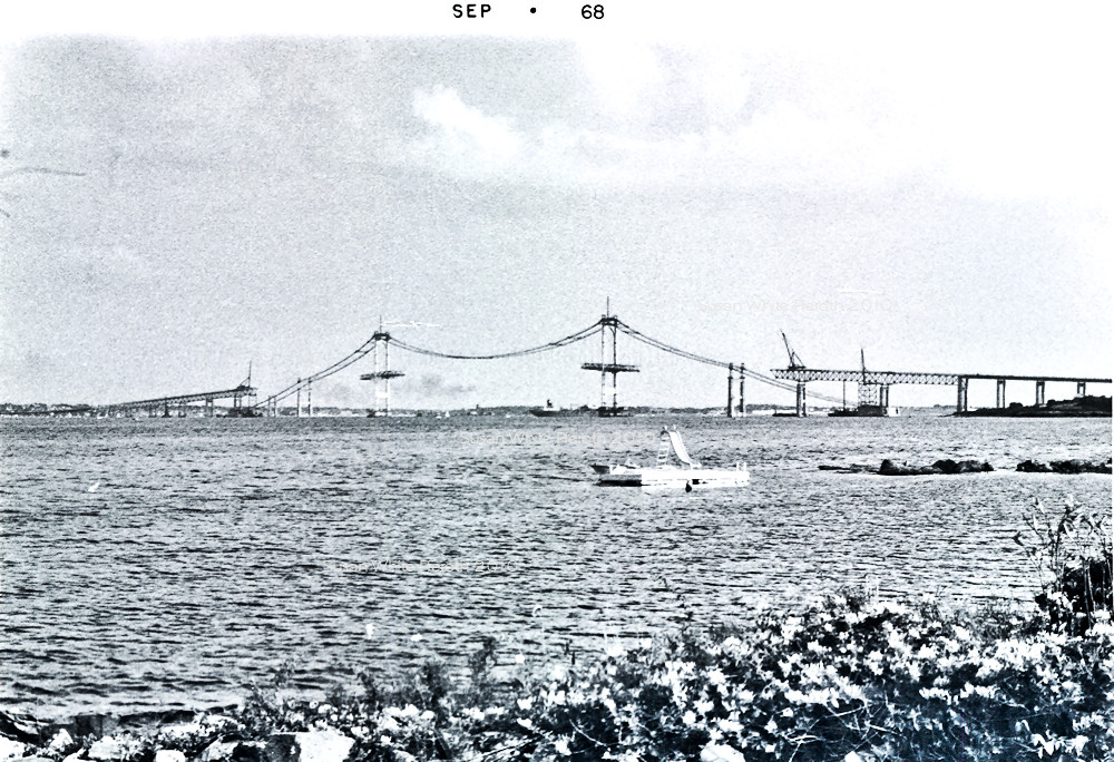
leads to the Jamestown Bridge. The Newport Bridge, completed in 1969,
is
off Taylors Point. The brochure lists the hotels, with capacity, as:
Bay
Voyage 75; Champlin House 75; Thorndike Hotel 250; Gardner House 300;
Bay
View 200; Prospect House 50; Tenant Cottage 25; Allen Cottage 30; Bay
View
Annex 50. Click for a picture
and information
about the North Pt. (Conanicut) Light, built in 1886.
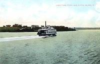 |
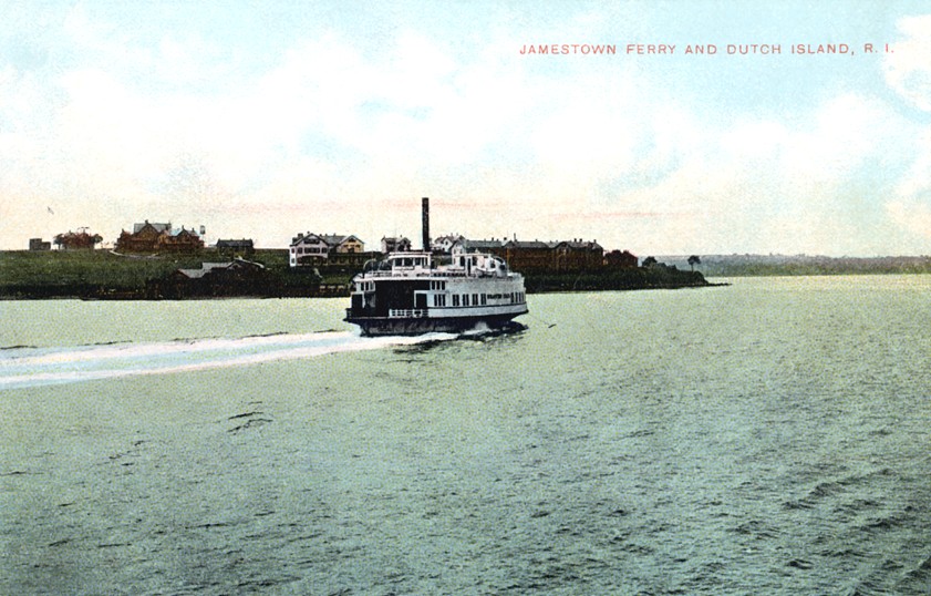
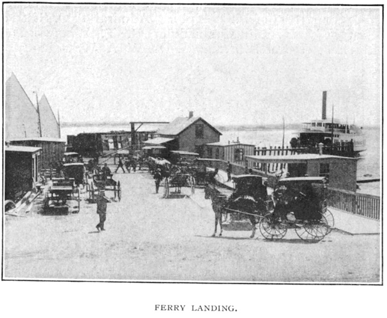
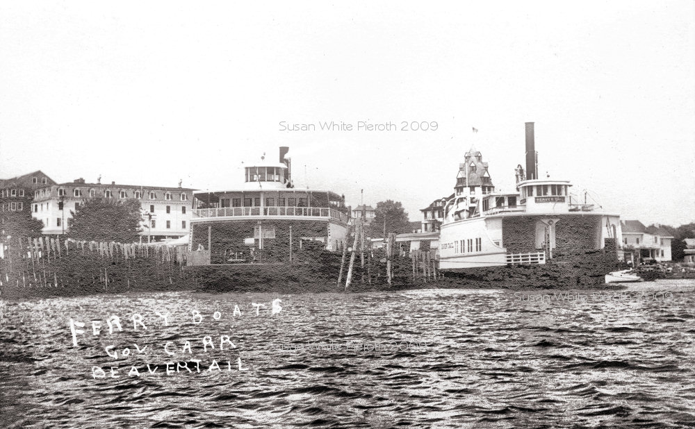
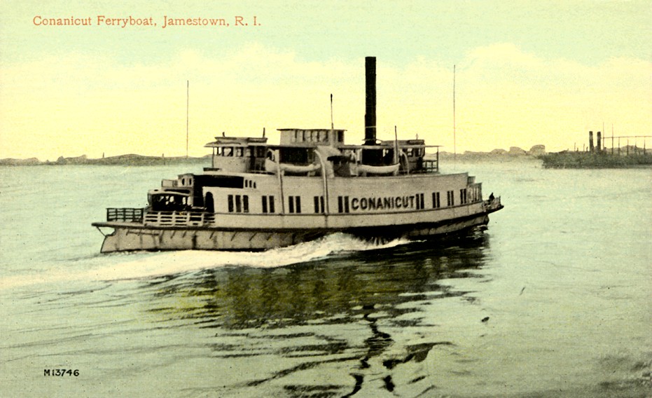
 Left:
"Jamestown Ferry and Dutch Island" shows one of the ferries from the
West Ferry. Left:
"Jamestown Ferry and Dutch Island" shows one of the ferries from the
West Ferry. |
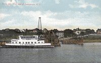
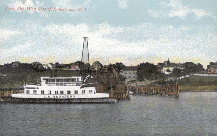
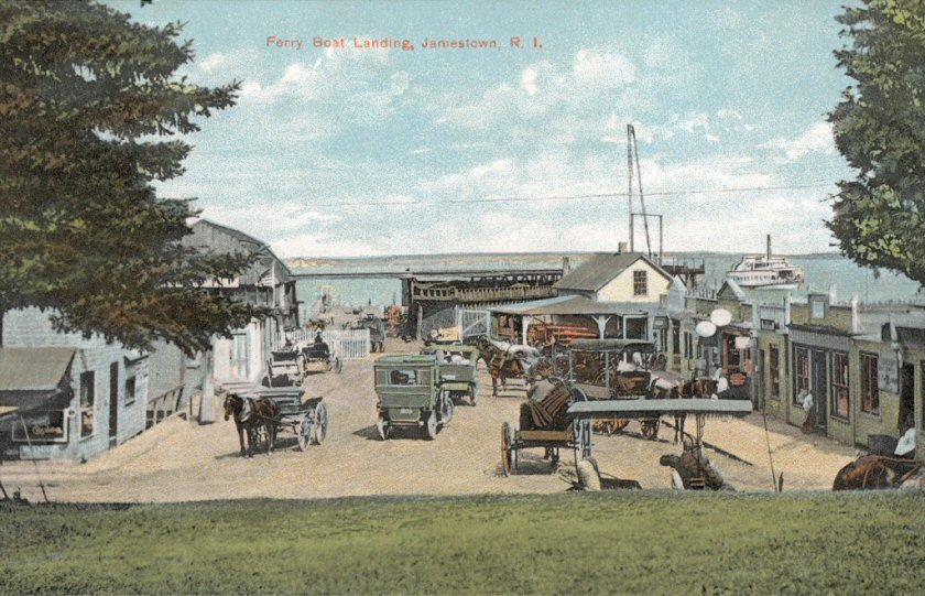
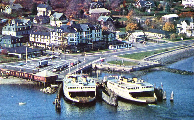
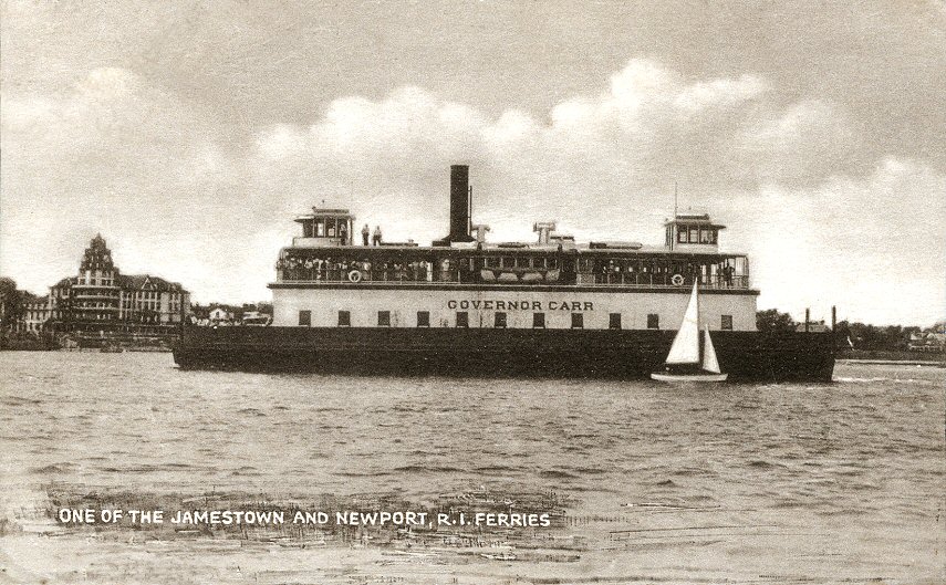
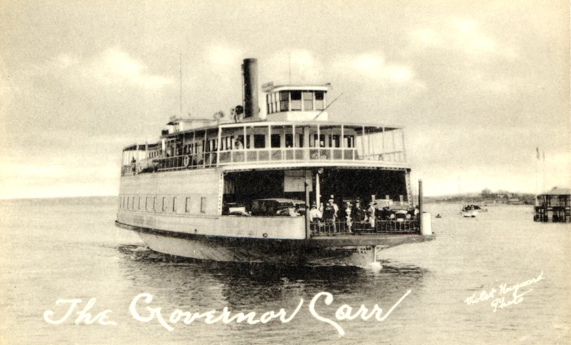
Right:
"Ferry Slip West Side, Jamestown"
with ferry J. A. Saunders. |